47 minutes
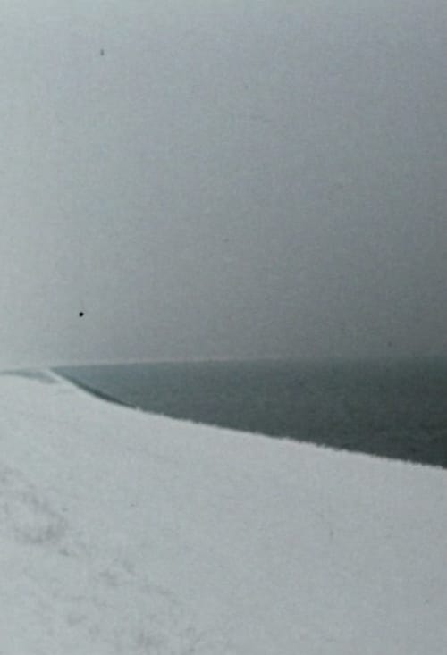
Out of over 4,000 ordinance survey maps (scale 1:25,000) charting all of West Germany, 88 maps were selected by random generator. Then random intersections of two coordinates were determined. Between March 1979 and February 1980 I visited the places at these coordinates, going from south to north. If the random place was determined by with the help of the survey map in the landscape, then I set up the camera at eye-level and pointed it northwards. This first shot was followed by 23 other shots, with the camera turning 15 degrees to the right for each next shot. The length of the shots follows a simple pattern: in the beginning, the shots are 6-5-4-3-4-5-6-5...and so seconds long. Towards the middle of the film they become progressively shorter, reaching ¼ of a second before becoming longer again at the end of the film.
More informationexpand_more
Show crew
keyboard_double_arrow_down